
Hanover Park Neighbor Record Layers
The public picture of a Hanover Park block has three distinct layers. GIS supplies geography: parcel shapes, PINs, streets, and public districts. Assessor and recording files show recorded property interests and tax-mailing information. Libraries, historic groups, associations, and special service area documents add community context. None is a full household census. Select the source that matches the question, then state exactly what it proves.
| Source | What It Shows About a Block | Access |
|---|---|---|
| DuPage GIS buffer | Nearby PINs, parcel geometry, situs and billing fields, status, and area | Public viewer and parcel layer |
| CookViewer selection | Nearby parcels, addresses, PINs, and public districts | Public map with selection tools |
| County property and recording files | Owner or billing name, tax mailing, deeds, and recorded interests | County portals, counters, and copy requests |
| Illinois voter channels | Individual registration confirmation and limited lawful inspection | No public bulk block roster |
| Community and history sources | Association areas, service districts, photographs, and oral history | Public pages, libraries, and narrow requests |
A deed or parcel card may identify a person or company tied to the land. It does not prove that the owner occupies the home or name relatives, guests, or other occupants. A voter record reflects registration at a record date, not a complete household. Community pages can describe an area without publishing a member roster. Keeping those limits visible makes the final block notes useful and fair.
Route Hanover Park Neighbors by County
Hanover Park crosses Cook and DuPage counties. One county viewer cannot return parcels held by the other, so a boundary street may require two searches. Start with the village maps page, then verify the county and township from the parcel result. Cook addresses can fall in Hanover or Schaumburg Township. DuPage addresses can fall in Wayne or Bloomingdale Township.
Postal labels do not replace that check. An address may carry Hanover Park, Bartlett, or another nearby label while its parcel and service jurisdiction tell a more exact story. Save the PIN, county, township, situs, map date, and source URL for the anchor parcel. If adjacent lots disappear at the edge of one viewer, repeat the block in the other county rather than treating the blank space as open land.
Note: County and township fields control the records search; a mailing-city label is only one address clue.
Map Hanover Park's Adjacent Parcels
DuPage's official viewer instructions support both shape selection and a buffer around a selected feature. A buffer is a measured zone drawn around a parcel. The guide uses feet and describes a default 250-foot distance, though a smaller value may better fit a tight block. CookViewer offers parcel, address, intersection, map-selection, and comparison tools. Tools and layer names can change after a release, so record the date of the map used.
- Locate the anchor address and click its parcel. Copy the PIN, situs, and legal description before moving outward.
- Use a buffer, shape search, rectangle, or pan-and-click method to select the lots beside and across from it.
- Remove roads, drainage, railroad, park, school, and common-area parcels when the question concerns next-door homes.
- Open each remaining PIN in its county property system. Compare owner or billing name, situs, legal description, status, and districts.
- Check corner lots, multifamily parcels, and the opposite county separately. Do not call every shape in a radius a neighbor.
The result should be a short parcel worksheet, not a copied list of people. A full named-street chain belongs in the Hanover Park street directory; the block method stays focused on parcels close to one anchor.
When Owners Are Not Neighbors
A parcel owner, tax-bill addressee, and resident can be three different parties. DuPage exposes billing and property addresses separately. Cook's public property tools also distinguish property location from tax fields, and the Assessor warns that its location is not a legal or postal mailing address. A company may hold title. A tax agent may receive the bill. One parcel may cover many units.
Use phrases such as “recorded owner” or “tax-mailing contact” in notes. Reserve “resident” or “neighbor” for a source that supports occupancy at a stated date. Even an exemption or a matching mailing address is evidence to weigh, not a list of every household member. This label choice prevents the most common error in a neighbor search.
Hanover Park Community Boundaries
Community sources explain how part of a block is organized, but they do not disclose who lives in each home. Olde Salem's public page describes Olde Salem, Liberty Square, and Laurel Crossing as a 422-home townhome community. It provides public community material and a private resident sign-in, not a public membership list. The village's special service area report identifies Greenbrook/Tanglewood, Astor Avenue, and Hanover Terrace/Mark Thomas service areas. An SSA is a tax and service boundary, not an association directory.
Olde Salem
Public descriptions and a contact route cover three named communities. Resident access remains private.
Village SSA Records
Official evidence identifies service areas and village administration without making household claims.
Historic Committee
Public work includes scanned artifacts, historic sites, and documentation for two cemeteries and their plots.
The Olde Salem community page shows how this neighborhood layer is presented.
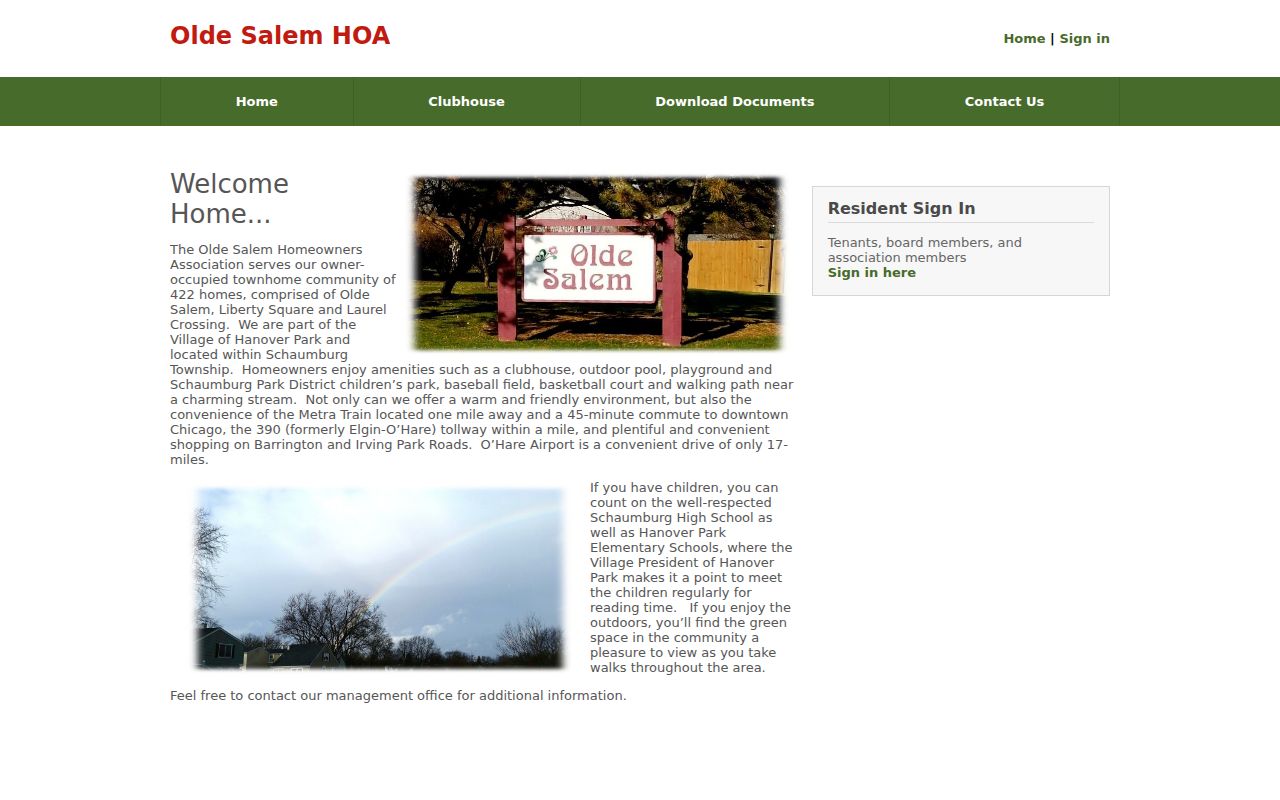
The public view identifies the community while keeping its resident sign-in separate.
Association and SSA boundaries should be dated in the same way as parcel layers. A service area can change through village action, while a private community may use a familiar name that does not match a legal subdivision. Compare the public description with the parcel's municipality, township, tax districts, and recorded plat. For a question about services, use the village document. For an association rule or event, contact the association itself. For a question about title, return to the county record. This source-by-source approach keeps a neighborhood label from becoming an unsupported claim about a particular home or person.
Hanover Park Voter Block Limits
The Illinois voter registration lookup is designed for individual confirmation, and the live interface was blocked during research. Illinois election law allows inspection of certain voter information but restricts copying, electronic transmission, and commercial use. No public bulk block roster was verified. Cook County Clerk Elections and the DuPage County Election Division are the official fallback contacts.
Do not turn a lawful voter check into an inferred household. Registration can be dated, a person may have moved, and protected voters may receive special handling. Illinois's Address Confidentiality Program gives eligible survivors a substitute address for many public interactions, though the program warns that real-property records cannot always be kept confidential. A missing voter or address result should remain a source limit, not a claim about who is absent from the block.
Official Hanover Park Neighbor Sources
Commercial neighbor-search products may blend property, marketing, and address-history data. They can be fast, but the source date, correction path, and same-name match are often unclear. Official sources require more steps, yet each claim can be tied to a custodian and date.
| Choice | Useful For | Key Limit |
|---|---|---|
| County GIS and property rolls | Parcel boundaries, PINs, recorded owners, districts, and tax fields | Not a household directory |
| Recorder and Clerk files | Deeds and recorded interests tied to a legal parcel | Parties to land records are not all occupants |
| Commercial aggregation | A lead that may combine several data sources | May be stale, wrongly joined, or hard to correct |
Use the commercial category, if at all, as a lead. Confirm every material detail with the county, village, library, or organization that holds the underlying record.
Keep a source date beside each fact because assessment rolls, deeds, association pages, and voter status update on different schedules. If two sources conflict, prefer the custodian responsible for that field and ask for the underlying document when the distinction matters. A recorded deed controls the recorded transfer; the assessor explains assessment fields; the village defines its service area; and the organization controls its own public information. Combining those roles without merging them produces a clearer account of Hanover Park neighbors.
Hanover Park Block Memory
Current names are only one way to understand neighbors. Poplar Creek Public Library District's local-history collection includes photographs, maps, newspapers, organizational records, scrapbooks, and oral histories. Its district covers much of Hanover Park and nearby communities, so search by subdivision, township, church, road, or civic group as well as the village name. Oral histories require release and may be redacted.
A 2026 oral-history project offers a timely route to former-resident stories without creating a current-person roll. Read the Poplar Creek oral-history announcement.

The announcement connects neighborhood memory to a library collection with consent and release controls.
The village Historic Committee supplies a second local route through photographs, artifacts, and cemetery documentation. Review the Hanover Park Historic Committee source.
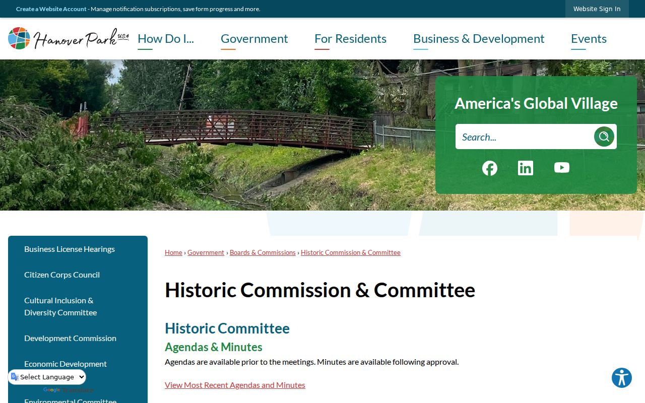
Its work can connect a family or place to the community's past, but no public name-indexed cemetery database was located.
Privacy for Hanover Park Neighbors
A precise parcel map does not make every person on the block public. Utility customers, delivery data, motor-vehicle addresses, guests, children, and many non-owner occupants do not belong in an open neighbor list. Public records may also redact identifiers or protect addresses when law and safety programs apply. Respect private association sign-ins and do not infer membership from a street alone.
For personal safety or a community concern, use the right public contact instead of trying to expose a household. The village has published a Neighborhood Watch contact route, but no current public block-captain roster was located. A narrow village request may retrieve an eligible public administrative record, while police reports and protected details remain subject to exemptions.
Lawful use. Research Hanover Park neighbors for civic awareness, local history, reconnecting, or personal safety. Never use a block search to watch, intimidate, stalk, harass, or harm anyone.