
Walk a Hanover Park Street
A Hanover Park street directory search works best as a chain, not a single query. The village crosses Cook and DuPage counties. First confirm which county holds the address, then preserve the exact house number, direction, unit, municipality, township, ZIP, and parcel identification number. A parcel record identifies land and a billed owner. It does not list every person at the address, and its mailing field may point somewhere else.
Move from the broad address to stable record keys. A PIN, which is the parcel identification number, links tax, GIS, and deed material more reliably than a street spelling alone. Record the date shown on every result because tax, sale, and voter information changes.
- Normalize the address and identify Cook or DuPage County.
- Open the correct assessor search and save the PIN, situs address, and billing name.
- Use CookViewer or the DuPage Parcel Viewer to inspect adjacent parcels and street geometry.
- Follow the PIN or owner name into the correct recording office for deeds and plats.
- Check lawful voter access and regional criss-cross volumes only as separate evidence of occupancy.
Hanover Park's Two Record Routes
A Hanover Park mailing label is only a starting point. Cook County and DuPage County maintain separate assessors, GIS tools, recording offices, election authorities, and courts. The village map page helps identify the county and township, while the parcel viewer supplies the legal key. Check the jurisdiction address by address, especially near the county line.
Cook recording functions moved into the Cook County Clerk in 2020. DuPage still has a separately named Recorder. That difference matters when a portal fails or an older record is not online: Cook requests go through Clerk recording channels, while DuPage offers office research and public terminals in addition to its web index.
Hanover Park Street Record Coverage
Each address-keyed source answers a different question. Property rolls show parcel and tax facts. Maps show where the parcel sits. Recorded instruments document legal transfers and claims. Village files may show permits or code matters, but no complete public Hanover Park permit index was verified.
| Record Set | Keeper | What It Shows | Access |
|---|---|---|---|
| Property and tax | Cook Assessor or DuPage Property Lookup | PIN, situs, billing name, values, transfers | Free online search; office fallback |
| Parcel GIS | CookViewer or DuPage GIS | Street parcels, districts, imagery, owner fields | Free viewer and data layers |
| Deeds and plats | Cook Clerk or DuPage Recorder | Grantor, grantee, document type, legal land key | Online index where available; office and copies |
| Voter records | Cook or DuPage election authority | Limited registration fields under Illinois law | Inspection subject to copying and use limits |
| Permit or code file | Village of Hanover Park | Existing work, inspection, or hearing records | Department contact or Illinois FOIA request |
The strongest Hanover Park street directory result keeps these categories distinct. A tax record supports ownership or billing. A deed supports a recorded transfer. Neither proves that every named party occupied the property.
Search Hanover Park Property Fields
The Cook County Assessor address search and DuPage Property Lookup accept different inputs. Street suffixes should not be entered in Cook's street-name field. DuPage also provides billing-name and map modes when the service is available.
| Portal | Search mode | Key fields | Limit |
|---|---|---|---|
| Cook Assessor | Address | House number, direction, unit, street, city, CAPTCHA | No simple owner-name search observed |
| Cook Assessor | PIN or advanced | PIN, ranges, township, class, appeal fields | Location is not a legal postal address |
| DuPage Property Lookup | Address, parcel, billing name, map | Street, municipality, PIN, billed name | Service showed intermittent maintenance |
The captured DuPage address-search screen shows the actual route into its parcel system.
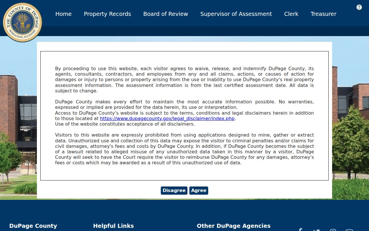
Use its output to capture the parcel key, then verify the result against the map rather than treating the billed name as a resident list.
Map Hanover Park Streets by Parcel
CookViewer supports address, parcel, map, and intersection work, with district layers, imagery, exports, and a historical parcel archive. DuPage's official viewer guide documents basic and advanced search, selection, download, buffer, and adjacent-parcel tools. Those functions help walk a whole street segment without guessing at house numbers.
The CookViewer capture shows how parcel and district geography can be inspected together.
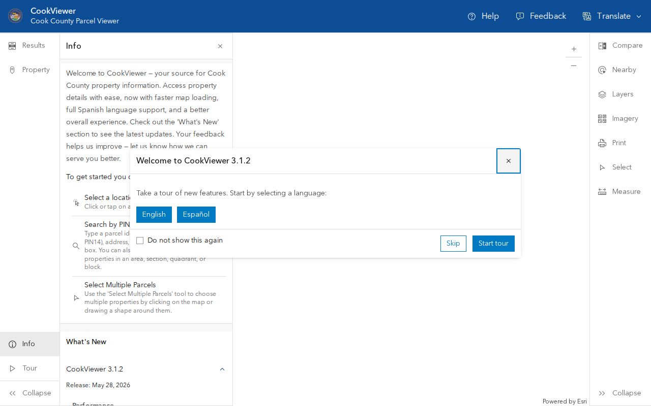
Return to the Clerk or Assessor for the underlying official record. A map layer is a navigation aid, not a certified title document.
The DuPage parcel layer exposes PIN, situs, billing, owner, and parcel-status fields.
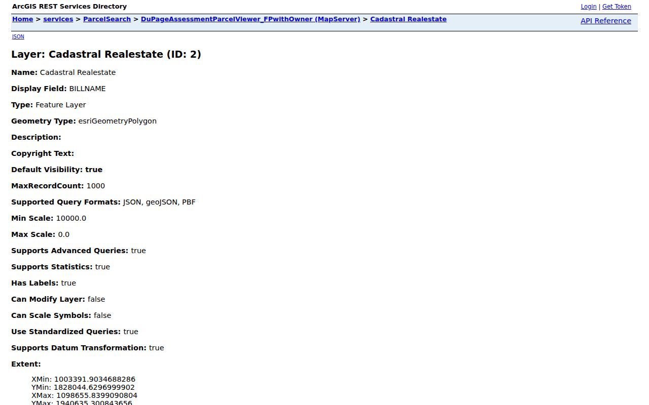
Those fields let a researcher compare legal parcel identity with the street address and tax mailing destination.
Three Hanover Park Address Meanings
Street research often fails because three address concepts are collapsed into one. The situs is the physical parcel location. The mailing address is where the tax bill goes. The legal description identifies land through a plat, lot, block, or metes-and-bounds description. They may not match.
- Parcel
- A mapped unit of land with its own PIN.
- Situs address
- The location assigned to the parcel itself.
- Plat
- A recorded map that divides and labels land.
- Criss-cross directory
- A volume arranged by street and number rather than only by surname.
Key limit. A tax-bill mailing address or parcel owner is not automatic proof of the current occupant.
Trace Hanover Park Street Ownership
For DuPage parcels, the Recorder search accepts grantor and grantee names, property address, PIN, document number, document group or type, and date range. A grantor transfers an interest; a grantee receives it. Online documents and images run from March 16, 1961 forward. The office says name searching reaches 1961, PIN searching 1985, and address searching 1995, while in-office research reaches 1839.
That split is an important street directory tip. When an address search stops, continue with the current deed's party names and legal description. Cook researchers use the Cook County Clerk's recording and copy routes, plus the Property Portal's recent-document summary. Mail, office, and copy requests remain part of the chain when the web index is incomplete.
Older Hanover Park Street Labels
Hanover Park incorporated in 1958 and expanded in stages. Greenbrook grew in the 1960s, Woodlake Trails and Olde Salem in the early 1970s, and Ontarioville joined in 1982. Older records may use those subdivision names, a township, or a nearby town instead of the modern village label. The postal shift from shared 60103 treatment to 60133 in 2001 adds another search variant.
Regional reverse directories at Schaumburg Township District Library can turn an old street number into an occupant lead. Use the separate Hanover Park city directory collections account for exact editions and shelf strategy. Search Bartlett, Roselle, Streamwood, Schaumburg, the county, and the subdivision name when Hanover Park alone fails.
Request Hanover Park Address Files
Not every address record has a public search box. Hanover Park permit, inspection, code, and police records may require an office request. Start with the village department that created the file, and describe an existing record by street address, unit, record type, and a narrow date range. The village Freedom of Information request page routes requests through its current portal. Police accident reports have a separate online or front-desk channel, while other police records follow the village request process.
County access also has counter and archive fallbacks. DuPage Recorder instructions distinguish online searches from office research. Name searches run from 1961, PIN searches from 1985, and address searches from 1995, while staff-assisted office research reaches back to 1839. Public terminals and recorder staff are therefore important when a Hanover Park street directory search reaches an older deed or an address that changed format. On the Cook side, the Cook County Clerk handles recording work, and the Property Portal provides tax and recent-document leads rather than a complete owner-name deed index.
Ask for the index entry and the underlying image as separate items. If no record appears, try the parcel PIN, legal description, subdivision name, former postal label, and recorded party names. A precise request is easier to route and less likely to mix two Hanover Park parcels with similar street numbers. Save the office response date with the result.
Note: Illinois FOIA does not replace the Circuit Clerk's court-copy process or the recorder's certified-document procedure.
Check Hanover Park Voter Addresses
Illinois voter records add a dated residence layer, but they are not a public street roster. The official individual Illinois registration lookup was blocked during research, so its live field labels and result screen could not be verified. For an ordinary status check, try that official route first. If it remains unavailable, contact Cook County Clerk Elections for a Cook-side address or the DuPage County Election Division for a DuPage-side address. County staff can explain phone, counter, and lawful inspection options.
The DuPage mail registration form shows why an address must be read with care. It records house number, street, apartment, city or village, ZIP, county, and township. It can also hold a separate mailing address, former address, and former county. If a registrant has no standard street address, the form permits a description using a subdivision, cross streets, landmarks, or neighbors. These are registration fields from a dated application, not proof that each detail is open through the public web lookup.
| Address field | Street-search value | Limit |
|---|---|---|
| Residence street and unit | Connects a registration record to a dated location | May be protected or later changed |
| City, ZIP, county, township | Routes the address to the right election authority | Postal and municipal labels can differ |
| Former address | Helps explain a move or name change | Not a current-residence claim |
| Mailing address | Explains where election mail was directed | May differ from the residence |
Registration-card inspection has timing and use limits under Illinois election law. Public copying, electronic transfer, and reuse are restricted, and protected voters receive special handling. Record only the field needed for a lawful personal search. Do not reproduce optional phone, email, signature, birth, or identification data.
Resolve Hanover Park Service Districts
A Hanover Park street can sit within several overlapping service areas. The village crosses Cook and DuPage counties and touches Hanover, Schaumburg, Wayne, and Bloomingdale township geography. Library, school, park, fire, election, and tax districts may use boundaries that do not follow the postal city line. The village Maps page links address, township, zoning, school, bike, and land-use views that help identify the correct agency.
Use those maps as routing tools, not as certified parcel evidence. Save the parcel PIN from CookViewer or DuPage GIS, then compare the district name on the assessor record with the village map. If the two sources conflict, ask the office that created the disputed field. USPS decides the delivery label, the village answers municipal-map questions, and the county maintains the parcel and tax identifier.
Subdivision names can also unlock older files. Ontarioville, Greenbrook, Woodlake Trails, Olde Salem, Longmeadow, and Turnberry appear in Hanover Park's development history. A plat, permit, annexation item, association document, or newspaper notice may be indexed under one of those names rather than the current street. Pair the subdivision with a lot, block, PIN, and year before assuming two similar addresses describe the same land.
Limits of Hanover Park Street Records
No official Hanover Park street directory provides a complete, current roster of every household member. Parcel and deed systems center on land interests. Public voter access is restricted by Illinois rules on copying, electronic transmission, and protected voters. Utility customer data and motor vehicle addresses are not open resident lists.
If a portal is blocked or offline, use the named office, public terminal, phone, mail, or an Illinois Freedom of Information Act request for an existing nonexempt municipal record. A missing web result does not prove a record or person is absent.
Lawful use. Use Hanover Park address records only for lawful personal research. Never use a street search to stalk, harass, threaten, or harm anyone.